
What was actually released?
and have released a foundation model for lunar science. Rather than learning every task from scratch, it first looks for patterns across a large collection of orbital images. Researchers can then adapt it to find craters, volcanic features or terrain worth a closer look. The model and its tools are openly available for others to test.
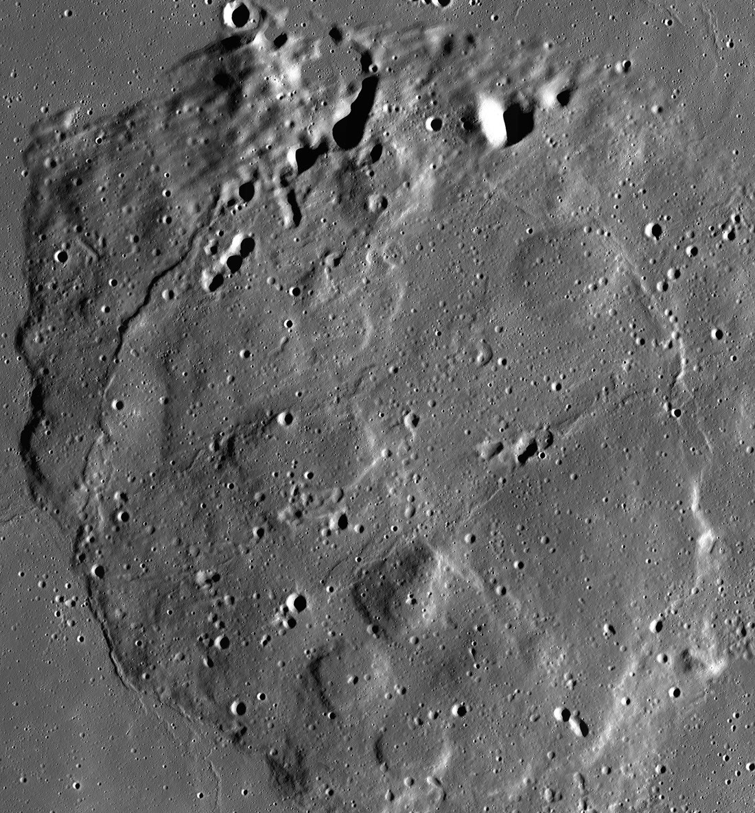
Training used about two million image patches from the Lunar Reconnaissance Orbiter. The material includes detailed views with roughly one metre per pixel and coarser multispectral images. The scales answer different questions: a small boulder and a whole geological province cannot be studied in the same way.
How could a computer help?
Craters and geological layers cover the Moon after billions of years of impacts and eruptions. People can inspect a selection of pictures carefully, but millions of frames take enormous time. A model can flag similar regions, mark unusual shapes and help create consistent maps. A scientist must then check each promising region against other evidence.
One possible use is choosing sites near the lunar poles, where permanent shadow might preserve ice. A dark image alone does not prove water is present. Temperature, illumination, spectra and eventually samples or direct measurements are needed. AI helps ask better questions; it does not replace an experiment.
Why is this more than a clever search?
The same pretrained system could be adapted to several tasks. Small research teams would not have to assemble a vast labelled training set each time. Open access lets other scientists repeat the process, test unfamiliar terrain and report mistakes. This matters when planning missions because spacecraft time and instrument capacity are limited.
The model may fail on terrain unlike its training images. Shadows, changing sunlight and image quality can make an algorithm detect a pattern that is not there. Accuracy and uncertainty therefore need testing, and exciting candidates require independent instruments. Releasing the model is not the same as announcing a new lunar discovery.
What happens next?
Researchers can now test it on specific mapping questions and refine it for their own work. Its value will depend on whether it saves time, reduces mistakes and produces results that others can check. A practical outcome would be directing cameras and future rovers toward places where they are most likely to learn something new.
What happens after automatic labelling?
A foundation model first learns representations of lunar terrain from many image patches without a person marking every crater in each one. A specific task still needs carefully selected examples and evaluation on images the model has not seen. Testing only on neighbouring views of the same region could yield an impressive score that collapses in another geological province. Test sets should therefore be separated by location and lighting conditions.
Light and shadow radically change how the same lunar feature looks. A crater imaged under a low Sun casts a long dark shadow; under a high Sun its rim may be less obvious. A model that equates shadows with craters can miss other examples or label an ordinary hollow as an impact feature. Comparing optical images with topography, thermal data or spectra helps reveal false detections. A scientist then decides which place merits closer study.
Releasing the model allows other teams to reproduce results, but release alone does not prove accuracy for every application. It helps to report how often it fails, the kinds of error and where performance worsens. Those details matter for mission planning: a mistaken assessment of dangerous ground or ice in permanent shadow may have greater consequences than an error in an ordinary image search.
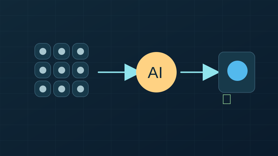
Original NZM illustration · Sources: NASA
A further detail
The Moon has no atmosphere that quickly erases impact scars, so ancient craters preserve part of its bombardment history. Counting them helps estimate relative surface ages: an area with more craters has often been exposed longer, although geological processes may bury or erase old craters. An automated catalogue must therefore distinguish overlapping impacts, shadows and volcanic features. Water ice in polar shadows poses an even harder problem. A dark image only says light did not reach the camera; it does not reveal what the ground is made of. Researchers also use radar, spectra, temperatures and illumination models. AI may flag a promising rover site, but landing decisions include slope, rocks, communications and safety. When another team can improve an openly released model and report its failures, the scientific community gains more than one algorithm: it gains a procedure that can be tested and repeated.
Publishing examples of model failures is useful too. They show whether small shadowed regions, low resolution or rare terrain types cause problems. Without that check, an openly available tool may appear more reliable than it is. Openness includes sharing limitations.
Key terms
— a system pretrained on a large dataset and then adapted to particular tasks.