

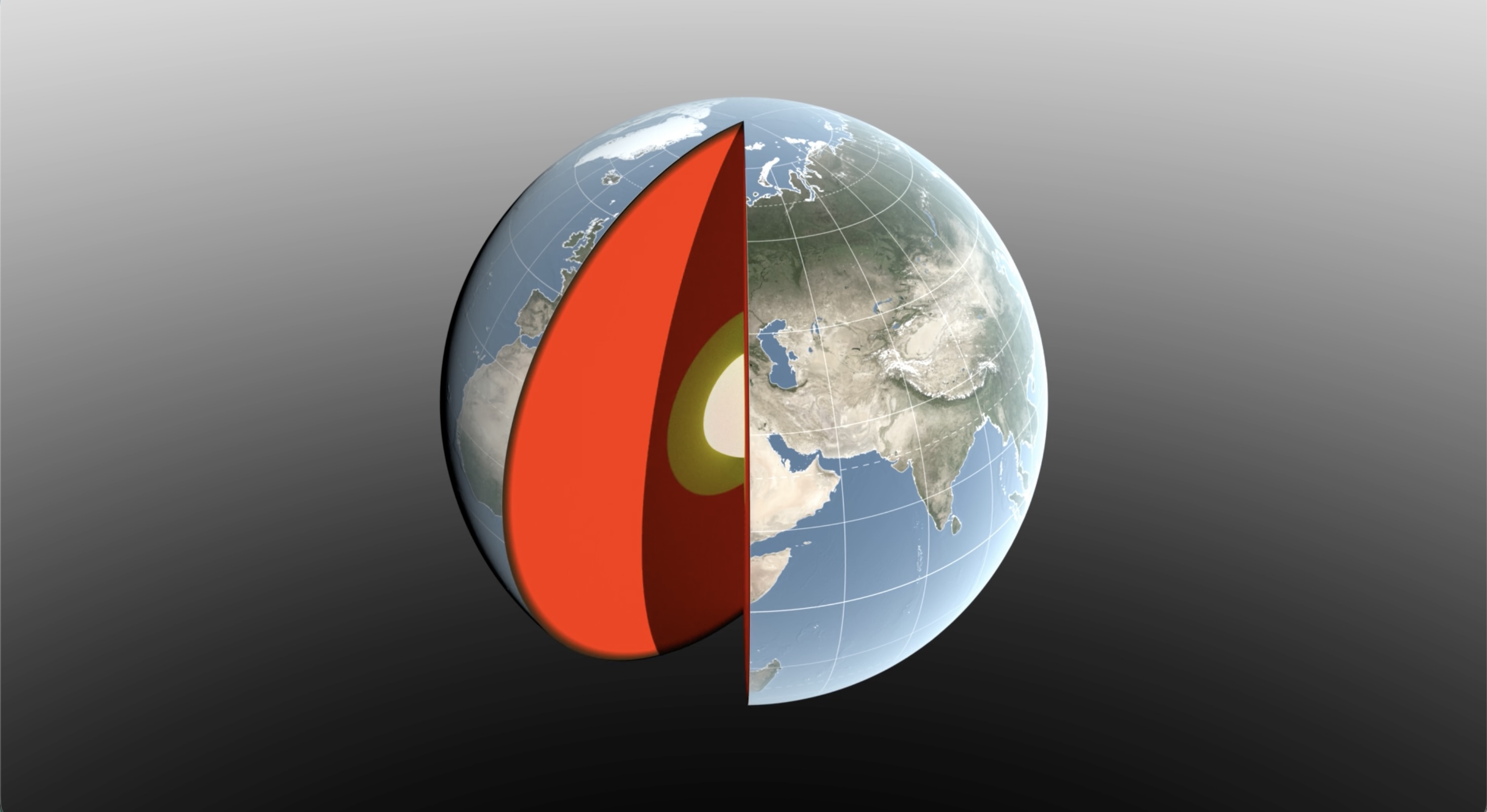
How can a planet’s center move?
Imagine a ball with water slowly flowing from one side to the other. The ball might stay in place while its balance point shifts. Likewise, snow piles onto continents during winter, melts in spring and runs through rivers toward the ocean. Enormous amounts of material move, but Earth is vastly more massive, so its center of mass shifts only millimeters.
gives seasonal examples: roughly three millimeters north as Northern Hemisphere snow builds up in March, and about 2.2 millimeters south when water fills the Amazon basin in April. These are changes in a reference point within the Earth system, not the planet traveling through space.
How can such a small change be measured?
Scientists fire laser pulses toward satellites. Reflectors send the light back to the ground station, and its travel time reveals distance precisely. The analysis also draws on navigation satellites, other low-orbit spacecraft and stations measuring deformation of Earth’s crust. No single instrument provides the complete answer.
The challenge is that observing stations also move with tectonics, tides and changing loads on the surface. Researchers must separate the station’s motion from changes in the itself. Agreement among independent techniques makes the planetary reference frame more reliable.
Why care about a reference point?
and scientific satellites need an agreed origin for their coordinates. An error of a few millimeters sounds trivial but matters when comparing decades of sea-level observations, ice-sheet heights or ground motion. Different spacecraft must use the same positional language.
The measurements also help trace water moving among oceans, land, air and ice. Precise geodesy thus helps us understand the water cycle and climate change. It does not, by itself, explain why climate changes; it provides a trustworthy basis for comparing other observations.
What does this teach us about science?
A tiny shift can reveal large processes. Researchers cannot look directly at Earth’s mass center. They combine several measurements, calculate possible explanations and check whether the answers agree. As instruments become more precise, understanding their errors becomes just as important.
A reference frame is not a fixed label
The centre of mass is the point where we can imagine a system’s total mass concentrated when describing its motion. Earth’s water, ice, air and internal masses are constantly redistributed. The effect on the global centre is tiny but measurable with precise satellite methods. It should not be confused with movement of the magnetic pole or changes in the rotation axis: these are distinct phenomena measured in different ways.
Laser ranging to measures the time a light pulse takes to reach a reflector and return. Precision requires more than a good clock. Analysts must account for the atmosphere’s effect on light, know the satellite’s orbit, track movement of the ground station and combine observations from different facilities. The result therefore comes from a large data set, not one reflected pulse.
A satellite tracking sea level measures height against a reference frame. If the coordinate origin is poorly maintained, a tiny false change could be mistaken for part of a real long-term trend. Geodetic systems are thus hidden infrastructure for climate research, navigation and mapping. The geocentre also offers clues about water moving between land and ocean. That interpretation needs independent checks because several processes can shift mass in similar ways.

Original NZM illustration · Sources: NASA
A further detail
Earth’s centre of mass is calculated for a system including the solid planet, water and atmosphere, not an imaginary sphere that never changes. Winter snow accumulating in the north adds mass in that direction; as it melts, water moves through rivers and oceans. Atmospheric pressure and groundwater contribute further changes. One reservoir’s effect may be small, but globally connected observations reveal the signal. Laser pulses to satellites are only part of the work. Satellite positions from several systems and precise monitoring of ground stations also contribute. A useful cross-check is whether methods with different errors agree on a seasonal change. We should not picture Earth physically relocating a few millimetres relative to the Sun each spring because of snow. It is the position of the centre of mass within Earth’s coordinate description that changes. The distinction sounds small but is essential to interpreting the measurements correctly.
Accuracy is also checked against independent observations of snow, ocean water and the atmosphere. Disagreement calls for a closer look at the model and instruments.
Key terms
— the center of mass of the whole Earth system, including oceans, atmosphere and ice.